Frequently Asked Questions (FAQ)
Why is a Study necessary?
Beamsville is experiencing growth and intensification along Ontario Street. In order to pro-actively plan for and manage growth, a study is being undertaken for the Ontario Street corridor. The study will help to implement the vision of the Beamsville GO station secondary plan. It will also provide a design vision for the remainder of Ontario Street to ensure that a vibrant community is created.
What will the study include?
The study will include the design of sites and buildings along Ontario Street. It will also include the Streetscape design within the Regional road allowance. By creating a design vision for public and private lands and they way in which they interface, the goal is to create a holistic corridor that is functional and vibrant.
|
Who is undertaking this Study?
The Town of Lincoln and the Region of Niagara are partnering on this project. The Region is providing input and assistance with respect to Ontario Street, since it’s a Regional Road. The Region is also in the process of creating a Complete Streets approach to the design of Regional Road, such as Ontario Street.
Dillon Consulting was hired to undertake the study. They will be working closely with the Town, Region and stakeholders on this project.
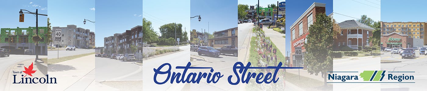
What parts of Ontario Street are in the study area?
The study area begins along the south edge of the South Service Road near the QEW. It continues to King Street within Downtown Beamsville. Please see the attached study area map on this page.
How much intensification and growth is expected?
The Province forecasts population and employment growth coming to Niagara. In the Town of Lincoln, the Region is planning for a growth of 9,815 housing units and 4,570 jobs from 2021 to 2051. Most of this growth (90%) will need to be accommodated within existing built-up areas through intensification opportunities such as along Ontario Street in Beamsville. The study area encompasses a portion of the Beamsville GO Major Transit Station Area and the downtown local growth centre, which are both focal points for growth and intensification. Given that 66% of the land area in Lincoln is restricted from the Greenbelt Plan and Niagara Escarpment Plan, a long term planning strategy is required to help establish that urban lands are used efficiently.
How will the population grow along this corridor?
The Ontario Street corridor is one of the key areas identified to accommodate redevelopment and anticipated intensification within Lincoln and has been an intensification corridor in the local Official Plan for some time. The population along the Ontario Street corridor will grow gradually over the next 30 years as suitable sites are redeveloped and as Regional transit infrastructure is built. The work being undertaken as part of this study will prepare the study area for anticipated growth to ensure it is accommodated appropriately.
The Ontario Street corridor is one of the key areas identified to accommodate redevelopment and anticipated intensification within Lincoln and has been an intensification corridor in the local Official Plan for some time. The population along the Ontario Street corridor will grow gradually over the next 30 years as suitable sites are redeveloped and as Regional transit infrastructure is built. The work being undertaken as part of this study will prepare the study area for anticipated growth to ensure it is accommodated appropriately.
We are already starting to see taller buildings along this corridor. What kind of building heights can we expect?
Building heights are expected to be in keeping with those anticipated in the GO Station Secondary Plan within that area. Along the remainder of the corridor, the study will evaluate what is most appropriate based upon the specific context.
What will happen to the existing buildings (homes, stores, etc.) that are along Ontario Street? Will they remain?
The study will examine which land uses and buildings should remain and which properties would be suitable for re-development including intensification. The study will also examine the relationship between existing buildings and lands that will remain in their current state and proposed intensified uses. This will ensure that there is an appropriate transition between uses and buildings.
|
How will the environment be impacted?
It is anticipated that the streetscape design will include street trees, plantings and Stormwater management features such as Low Impact Development (LID), where possible. The goal is to increase the urban tree canopy as part of a Complete Streets approach.
With respect to private lands, each property is required to provide a certain amount of landscape area, based upon zoning requirements.
When will the Beamsville GO station be operational?
This station is identified as a future station, therefore, there is no confirmed date for the Beamsville GO station at this time.
What are Complete Streets?
Complete streets is a concept that evaluates land use planning, transportation and urban design to create a holistic street corridor. The goal is to create roads and streetscapes that consider the needs of road users of all ages and abilities. This includes pedestrians, cyclists, transit users, motorists, transit vehicles, and commercial vehicles such as trucks. The Region is currently creating a Complete Streets program for all Regional Roads, such as Ontario Street. Please see the Region’s web page for more info. |
How can I get Involved?
There are many ways you can get involved. There is a list of public and stakeholder consultation events that are noted on the project web page.
When will the study be completed?
The study is expected to be completed in the Spring of 2022. Please see the project timeline on the project web page.
Traffic is already busy. How will increased traffic be handled?
Major road widening needs are generally identified through the Region’s Transportation Master Plan (TMP), which is updated regularly (approximately every five years) in order to align with changing conditions, new innovations and revised traffic/growth projections. The long-term needs of the Ontario Street corridor will continue to be reviewed as part of future updates to the TMP, as well as supporting tools and strategies such as the Region’s Travel Demand Forecasting Model and the new Complete Streets Design Manual.
Localized improvements, such as changes to traffic signal timings or the addition of turning lanes at intersections, may be identified as new developments are proposed along or near Ontario Street. When development applications are submitted for large developments, they must be accompanied by a Transportation Impact Study (TIS), which Regional staff review to determine traffic impacts and potential improvements.